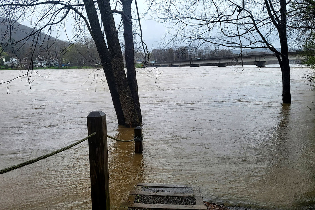
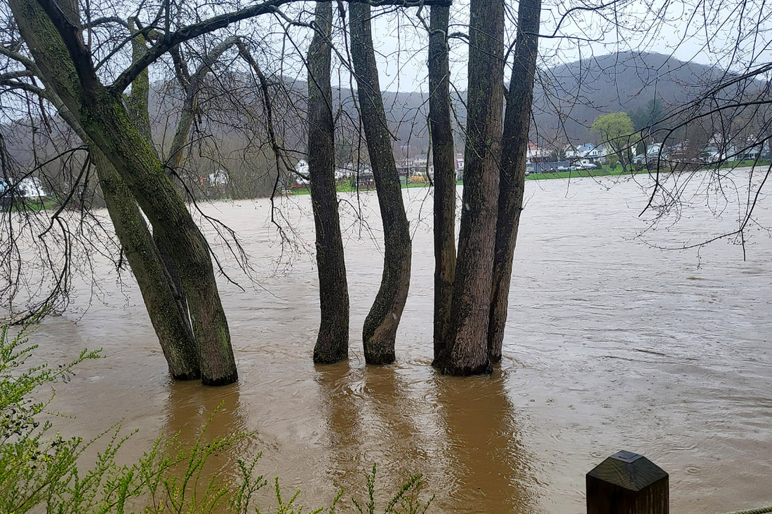
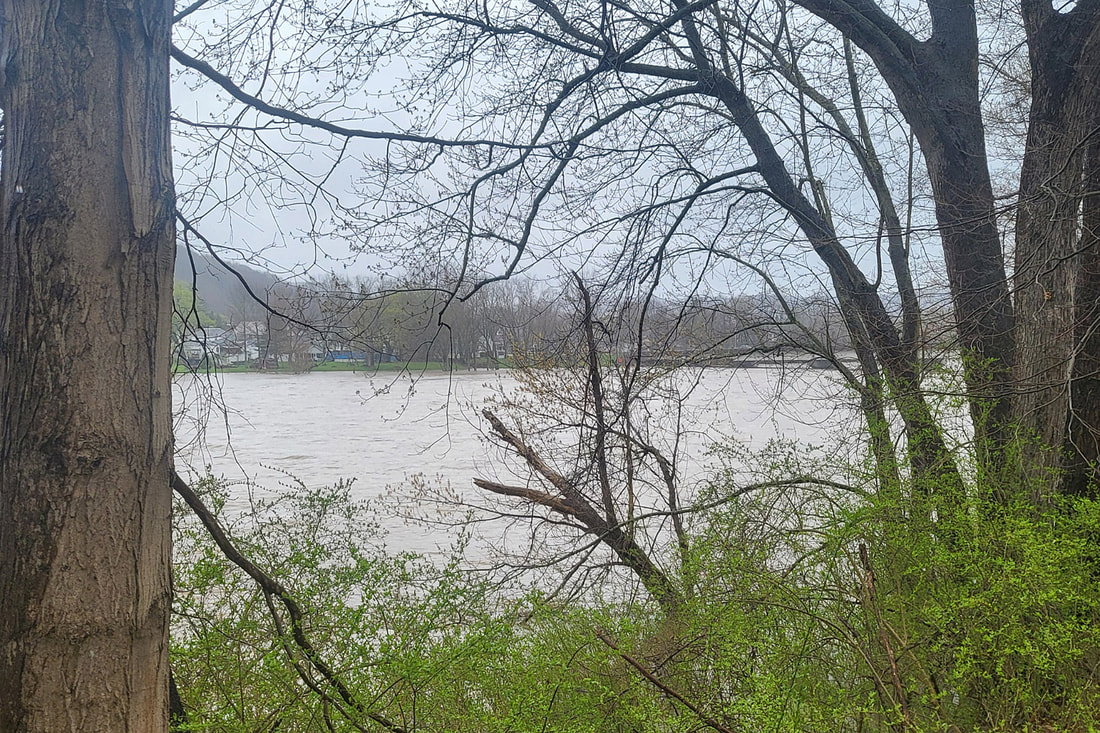
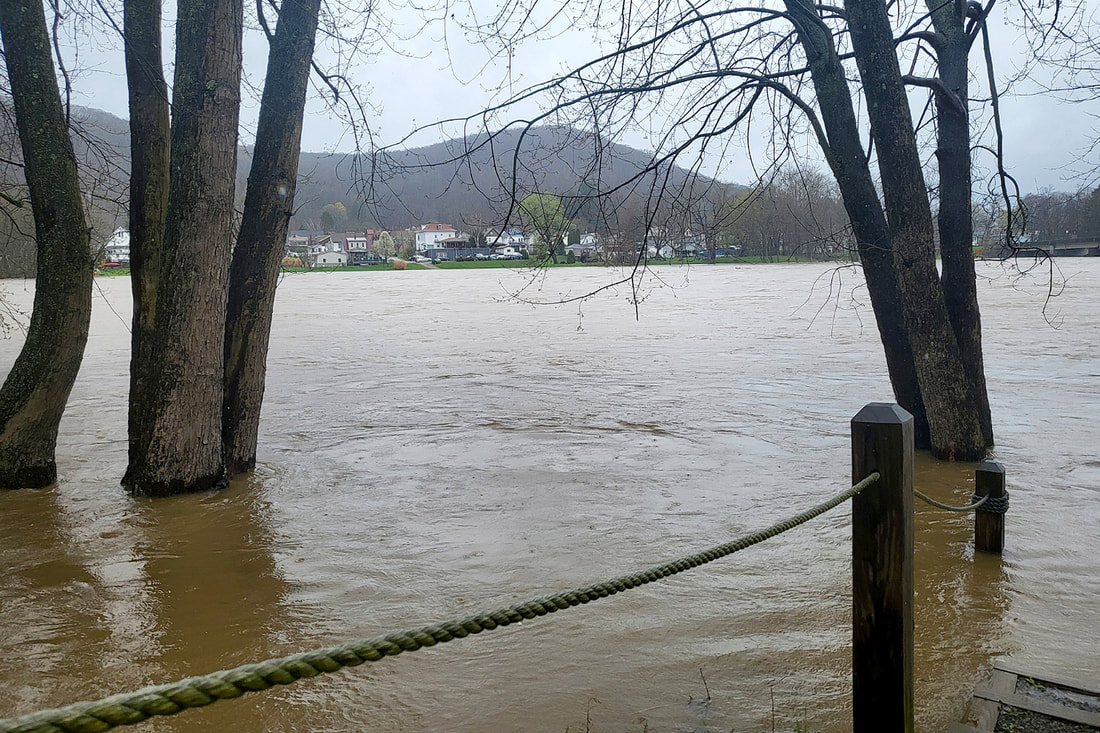
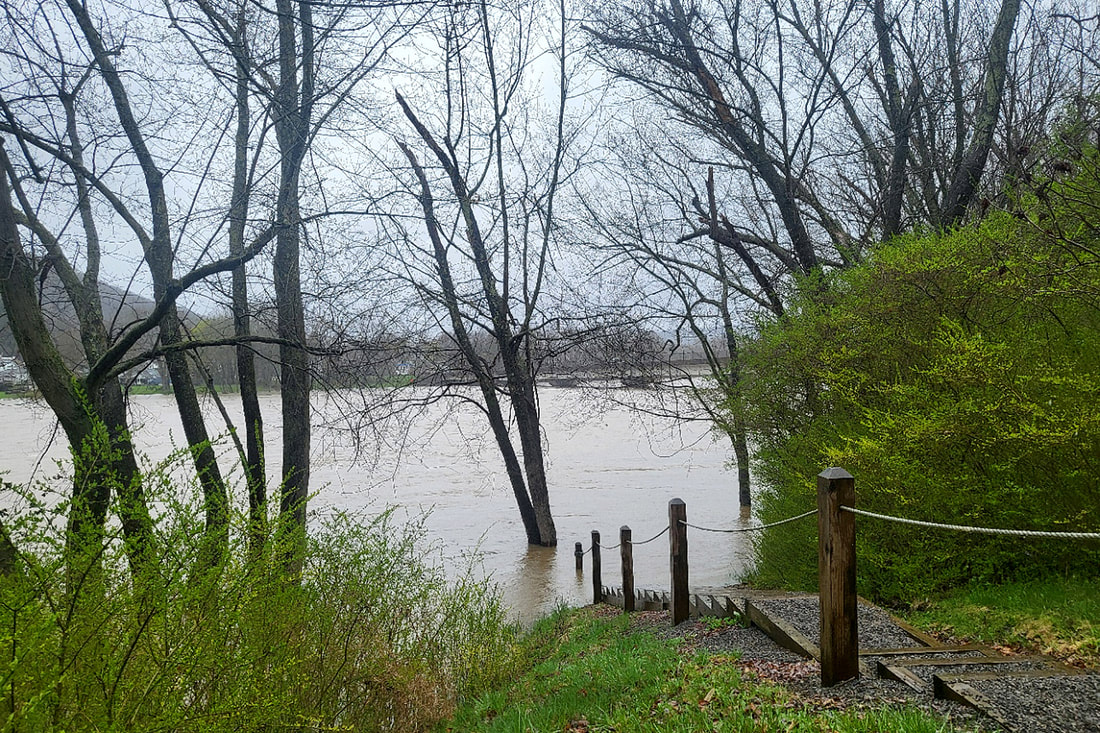
The National Weather Service issued a flood warning at 9:41 a.m. Friday, April 12, for Venango, Forest, Clarion, Armstrong, Butler, Lawrence, and Mercer counties. At 6:33 p.m. Friday the warning was extended from 8 p.m. until 2 a.m. Saturday morning.

A Facebook post from the National Weather Service Office in Pittsburgh at 3 p.m. Friday said, “Generally, 0.25 to 0.75 inches of additional rain is expected in western Pennsylvania and northern West Virginia through 8 a.m. (Saturday). While rainfall rates will be lower, rain will prolong existing flooding. Turn around when you see a flooded road; it only takes six inches of moving water to lose control of a vehicle.”
An accompanying graphic to the post displayed that most of Venango County was in the half-inch to three-quarters of an inch range for expected precipitation.
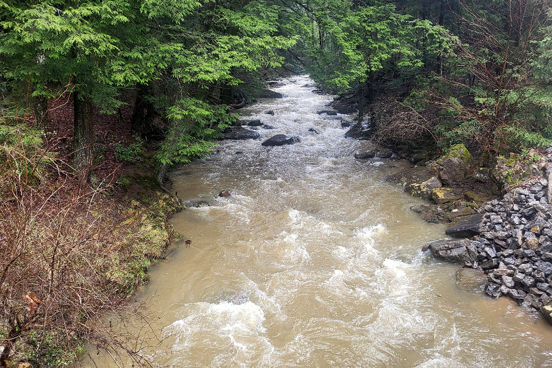
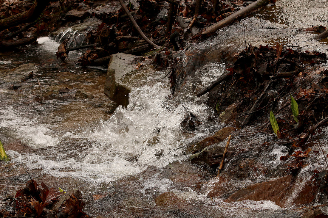
An area of Tarklin Road was reportedly flooded late Thursday. A Friday afternoon check of Tarklin Run showed the creek still within its banks. However, debris on the roadway showed various washouts in places.
Meanwhile, folks on the Friends of Cook Forest Facebook page started posting around 3:30 p.m. Friday that the Clarion River was up over River Road. A later post indicated River Road was closed by Toms Run Bridge. Updates on road closures due to flooding, downed trees or other incidents can be found at www.511pa.com.

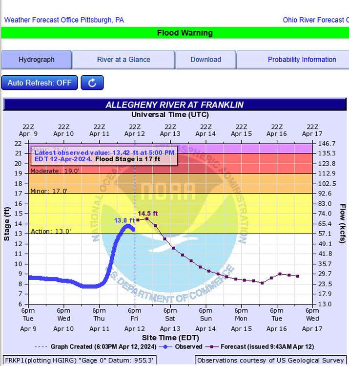
High points for this year included January 29 at 11.35 feet and 11.02 feet on April 4.
It was the same story for the USGS gauge on Oil Creek at Rouseville.
The April 12 reading of 8.53 feet was the highest level the creek has been at in a year.
Meanwhile, the folks at Kinzua Dam were working to deal with all the excess rainfall.
On Thursday, a post on the dam’s Facebook page stated, “Today we will be performing a series of gate operations in order to slow down the release of water. We anticipate we will soon be at 7,500 cubic feet per second and 10.42' outflow gage height, at 1500 we will close again and anticipate 5,400 cubic feet per second and 9.75' outflow gage height.”
No updates were posted Friday.
“Pittsburgh has never had a wetter start to Spring in its period of record going back to 1871 ...”, the office posted.
Another post listed various statistics for April 11:
- 4/11's 2.77 inches of rain shattered the old daily record of 1.46 inches (1933)
- 4/11 was the 25th wettest day on record (records back to 1871)
- Month-to-date, PIT is now 6.11 inches above normal
- This is already the third wettest April on record (and likely the first by the end)
- This is the wettest first 11 days for any month on record
- This is the only time the first and second greatest daily rainfall for a month have occurred in the same year (4/2 and 4/11)
By comparison, last year’s total precipitation at this point was 13.71 inches.
“Do to a slight uptick in forecast(ed) winds expected today and Saturday and (in) consideration (of) saturated soils allowing ... trees to more easily fall, a wind advisory has been issued valid until 7 a.m. Saturday,” the weather service posted on its Facebook page Friday.
A graphic displayed that 39 mph winds were forecast for late Friday night in Oil City and 38 mph wind gusts were possible up until 7 a.m. Saturday.
Unsurprisingly in its weekly report issued Thursday, the U.S. Drought Monitor listed no issues with drought for the whole state of Pennsylvania.
That’s just the nature of things ‘round here.


 RSS Feed